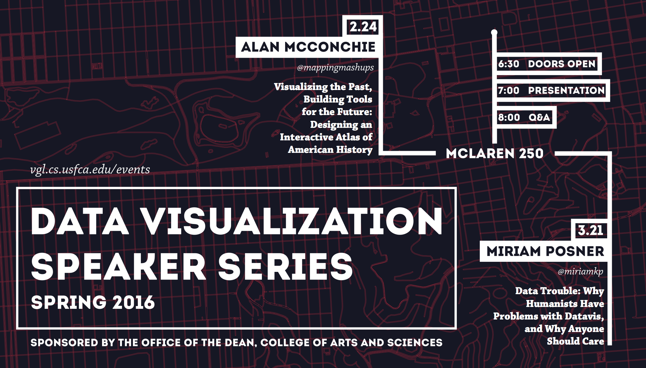
Alan McConchie
Visualizing the Past, Building Tools for the Future: Designing an Interactive Atlas of American History
Schedule
| 06:30pm | Doors open, socializing, food, drinks |
| 07:00pm | Speaker's presentation |
| 08:00pm | Q&A and more socializing |
Abstract
For the past year, Stamen Design has been working with the University of Richmond's Digital Scholarship Lab to build the American Panorama, a series of interactive maps of American history. In this presentation, I showcase the first four maps of the Panorama, which cover the forced migration of enslaved people before the Civil War, migration across the Overland Trails to the West, the movement of people and goods through canals, and the immigration of people to the U.S. from 1850 to today. At Stamen we are focused on the richly dynamic capabilities of modern web maps to enable deep digital scholarship of this important historical dataset. The project uses D3 visualizations with cartography based on a combination of Leaflet and CartoCSS. We built all these components on the foundation of CartoDB, creating an extensible, public, open source framework that will support the continued development of future maps in the Panorama.Biography
Alan McConchie works at the intersection of cartography, software, and data science. He has an undergraduate degree in Computer Science and Mathematics, and studied Geographic Information Systems at Hunter College in New York. He is currently a PhD candidate in Geography at the University of British Columbia in Vancouver. His dissertation research uses OpenStreetMap as a case study to understand the social dynamics of crowdsourced mapmaking online.
He loves making cartographic visualizations that reveal new ways of seeing the world, and is passionate about creating tools that help people create their own maps and tell their own spatial stories. He is on twitter at @mappingmashups, where he hosts a biweekly twitter discussion called #geowebchat. His first and (so far) most famous programming project is the Pop vs Soda page.
http://mappingmashups.net/ @mappingmashups
Recording
https://youtu.be/14Ij7kXKtkI
Event Flyer